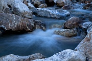
Hummingbird Creek 1 Camera: PENTAX K-5 | ISO: 100 | Exposure: 1.0s | Aperture: ƒ/11.0 | Focal Length: 47.5mm | Lens: Tamron AF 17-50mm F2.8 XR Di-II LD |
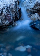
Hummingbird Creek 2 Camera: PENTAX K-5 | ISO: 200 | Exposure: 2.0s | Aperture: ƒ/9.5 | Focal Length: 45.0mm | Lens: Tamron AF 17-50mm F2.8 XR Di-II LD |
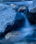
Hummingbird Creek 3 Camera: PENTAX K-5 | ISO: 400 | Exposure: 3.0s | Aperture: ƒ/9.5 | Focal Length: 45.0mm | Lens: Tamron AF 17-50mm F2.8 XR Di-II LD |
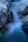
Hummingbird Creek 4 Camera: PENTAX K-5 | ISO: 200 | Exposure: 2.0s | Aperture: ƒ/9.5 | Focal Length: 50.0mm | Lens: Tamron AF 17-50mm F2.8 XR Di-II LD |
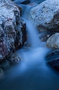
Hummingbird Creek 5 Camera: PENTAX K-5 | ISO: 100 | Exposure: 10.0s | Aperture: ƒ/16.0 | Focal Length: 50.0mm | Lens: Tamron AF 17-50mm F2.8 XR Di-II LD |
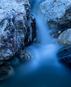
Hummingbird Creek 6 Camera: PENTAX K-5 | ISO: 100 | Exposure: 132.0s | Aperture: ƒ/16.0 | Focal Length: 45.0mm | Lens: Tamron AF 17-50mm F2.8 XR Di-II LD |
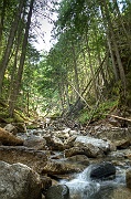
Mara Creek 1 Camera: PENTAX K-5 | ISO: 200 | Exposure: 1/6s | Aperture: ƒ/8.0 | Focal Length: 17.0mm | Lens: Tamron AF 17-50mm F2.8 XR Di-II LD |
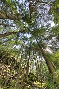
Mara Creek 2 Camera: PENTAX K-5 | ISO: 100 | Exposure: 1/20s | Aperture: ƒ/8.0 | Focal Length: 10.0mm | Lens: Sigma AF 10-20mm F4-5.6 EX DC |
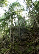
Mara Creek 3 Camera: PENTAX K-5 | ISO: 200 | Exposure: 1/4s | Aperture: ƒ/8.0 | Focal Length: 17.0mm | Lens: Tamron AF 17-50mm F2.8 XR Di-II LD |
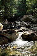
Mara Creek 4 Camera: PENTAX K-5 | ISO: 100 | Exposure: 1/8s | Aperture: ƒ/13.0 | Focal Length: 17.0mm | Lens: Tamron AF 17-50mm F2.8 XR Di-II LD |
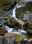
Mara Creek Waterfall Camera: PENTAX K-5 | ISO: 100 | Exposure: 1.5s | Aperture: ƒ/13.0 | Focal Length: 32.5mm | Lens: Tamron AF 17-50mm F2.8 XR Di-II LD |
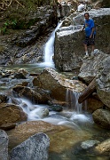
Vic on Mara Creek Camera: PENTAX K-5 | ISO: 100 | Exposure: 1.5s | Aperture: ƒ/13.0 | Focal Length: 32.5mm | Lens: Tamron AF 17-50mm F2.8 XR Di-II LD |
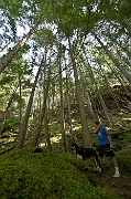
Vic and Tucker Camera: PENTAX K-5 | ISO: 100 | Exposure: 1/6s | Aperture: ƒ/8.0 | Focal Length: 10.0mm | Lens: Sigma AF 10-20mm F4-5.6 EX DC |

Vic and Darren Camera: PENTAX K-5 | ISO: 100 | Exposure: 1/15s | Aperture: ƒ/6.7 | Focal Length: 50.0mm | Lens: Tamron AF 17-50mm F2.8 XR Di-II LD |

Mandy Camera: PENTAX K-5 | ISO: 160 | Exposure: 1/90s | Aperture: ƒ/6.7 | Focal Length: 50.0mm | Lens: Tamron AF 17-50mm F2.8 XR Di-II LD |
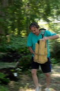
Haste Camera: PENTAX K-5 | ISO: 160 | Exposure: 1/15s | Aperture: ƒ/6.7 | Focal Length: 50.0mm | Lens: Tamron AF 17-50mm F2.8 XR Di-II LD |

Welcome Dog Camera: PENTAX K-5 | ISO: 160 | Exposure: 1/45s | Aperture: ƒ/6.7 | Focal Length: 47.5mm | Lens: Tamron AF 17-50mm F2.8 XR Di-II LD |
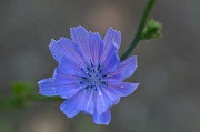
Cornflower 1 Camera: PENTAX K-5 | ISO: 140 | Exposure: 1/90s | Aperture: ƒ/5.6 | Focal Length: 70.0mm | Lens: Sigma AF 70mm F2.8 EX DG Macro |
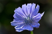
Cornflower 2 Camera: PENTAX K-5 | ISO: 200 | Exposure: 1/250s | Aperture: ƒ/5.6 | Focal Length: 70.0mm | Lens: Sigma AF 70mm F2.8 EX DG Macro |
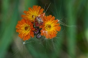
Flower and Fluff Camera: PENTAX K-5 | ISO: 200 | Exposure: 1/45s | Aperture: ƒ/8.0 | Focal Length: 70.0mm | Lens: Sigma AF 70mm F2.8 EX DG Macro |
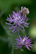
Purple and Green Camera: PENTAX K-5 | ISO: 200 | Exposure: 1/250s | Aperture: ƒ/5.6 | Focal Length: 70.0mm | Lens: Sigma AF 70mm F2.8 EX DG Macro |
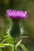
Thistle Camera: PENTAX K-5 | ISO: 200 | Exposure: 1/180s | Aperture: ƒ/8.0 | Focal Length: 70.0mm |
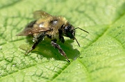
Bee on Leaf Camera: PENTAX K-5 | ISO: 200 | Exposure: 1/750s | Aperture: ƒ/8.0 | Focal Length: 70.0mm | Lens: Sigma AF 70mm F2.8 EX DG Macro |
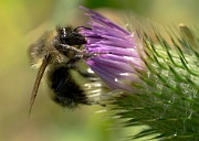
Bee on Thistle Camera: PENTAX K-5 | ISO: 200 | Exposure: 1/180s | Aperture: ƒ/8.0 | Focal Length: 70.0mm | Lens: Sigma AF 70mm F2.8 EX DG Macro |
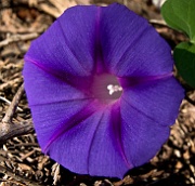
Morning Glory Camera: PENTAX K-5 | ISO: 160 | Exposure: 1/60s | Aperture: ƒ/11.0 | Focal Length: 50.0mm |
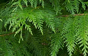
Cedar Bough 1 Camera: PENTAX K-5 | ISO: 200 | Exposure: 1/30s | Aperture: ƒ/9.5 | Focal Length: 70.0mm | Lens: Sigma AF 70mm F2.8 EX DG Macro |
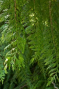
Cedar Bough 2 Camera: PENTAX K-5 | ISO: 200 | Exposure: 1/15s | Aperture: ƒ/9.5 | Focal Length: 70.0mm | Lens: Sigma AF 70mm F2.8 EX DG Macro |


