Whitehorse to Okanagan
The general route of my trip south had me turn off the Alaska Highway before Watson Lake to follow the length of the Stewart-Cassiar Highway #37, then east on the Yellowhead Highway #16 through Prince George before veering down Highway #5 to Kamloops and the Trans-Canada Highway #1 east to the North Okanagan. I took 4 days to do this and camped all 3 nights.
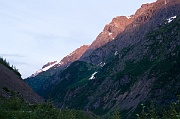
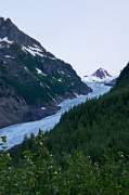
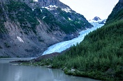
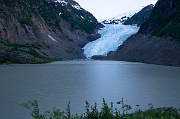
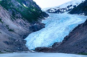
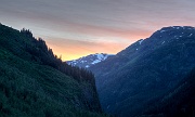
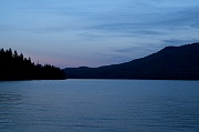
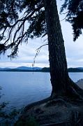
There is always far too much to be done at home on the day of departure for a trip and it was well into the afternoon of August 5th before I got away. I aimed to cover 520 kms that day and photography was not much on my mind with mostly flat grey skies and occasional drizzle anyway. I crossed into British Columbia on the Stewart-Cassiar and reached the Boya Lake Provincial Park campground just in time to set up camp in gathering darkness. Next day and a bit less than 500 kms later I still hadn't tripped the shutter when I pulled into the Meziadin Lake campground. But it was barely past mid-afternoon and I had reason to make camp here so early ... this was to be the jumping off point for an evening side trip to the town of Stewart, about 65 kms down the scenic Highway 37A. When I arrived at the glacier that descends near the road and is the highlight of this route, the lighting was unmanageable with the sun still fairly high and positioned behind the glacier. I carried on to Stewart, hoping for better light near sunset on the return leg. Supper in Stewart came with much slower service than I anticipated and I was further delayed getting gas when there was an issue with locked pumps after a shift change. The sun was almost down by the time I was back on my way but the light still wasn't great on the nearby waterfalls that I also had intended to photograph so I sailed past them with the aim of reaching the glacier while there was still usable light. This is where the photographic story begins.
| ▲ Index Page ▲ | North Okanagan ► | ||||
images by John Reeve licensed under a Creative Commons Attribution-NonCommercial-NoDerivs 3.0 Unported License. ... more info ...
